- California Assembly OKs highest minimum wage in nation
- S. Korea unveils first graphic cigarette warnings
- US joins with South Korea, Japan in bid to deter North Korea
- LPGA golfer Chun In-gee finally back in action
- S. Korea won’t be top seed in final World Cup qualification round
- US men’s soccer misses 2nd straight Olympics
- US back on track in qualifying with 4-0 win over Guatemala
- High-intensity workout injuries spawn cottage industry
- CDC expands range of Zika mosquitoes into parts of Northeast
- Who knew? ‘The Walking Dead’ is helping families connect
Another big storm heading toward California


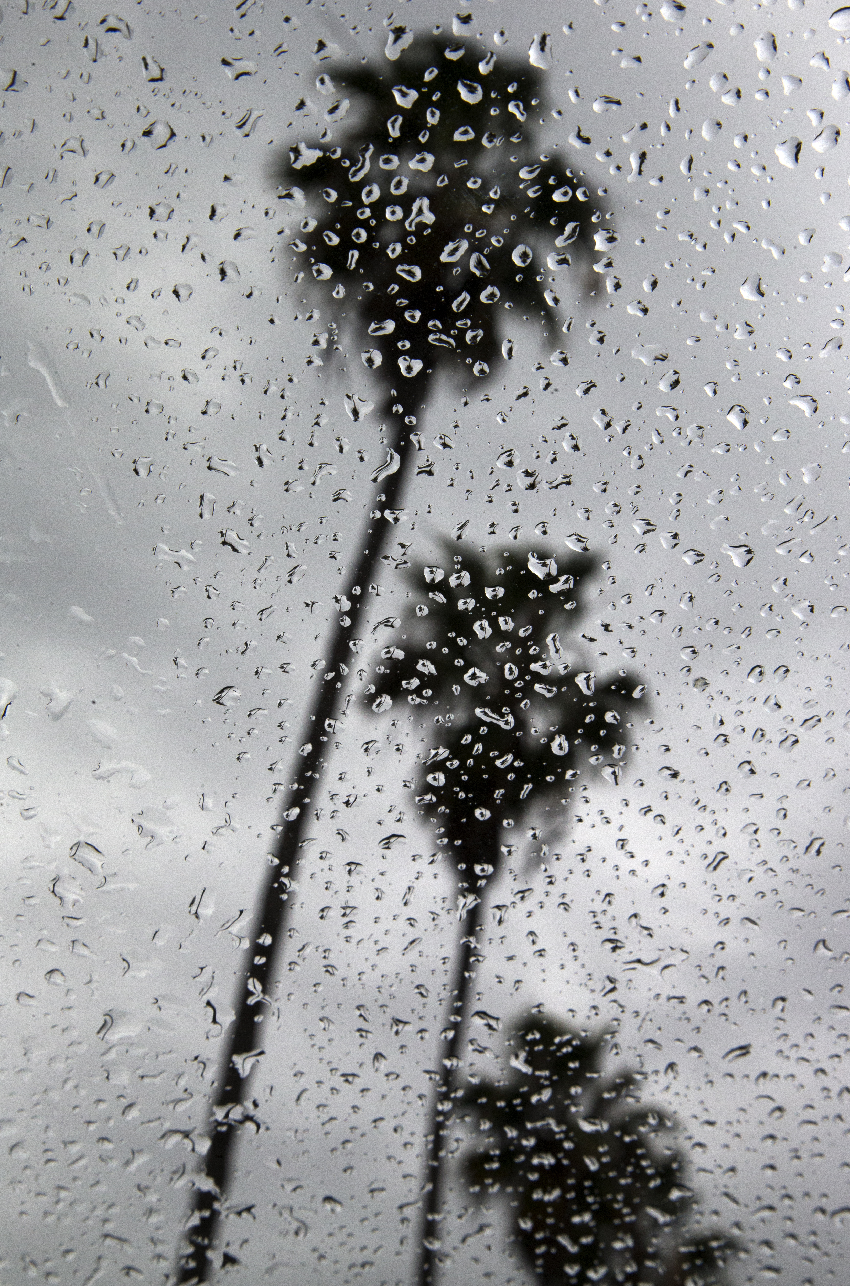
Palm trees along La Jolla Shores in San Diego are seen through a window covered with rain drops as the area braces for an approaching storm Tuesday, Dec. 2, 2014. Heavy rain from a powerful Pacific storm swept through California on Tuesday, providing some relief from a three-year drought. (AP Photo/Gregory Bull)
LOS ANGELES (CNS) – As Southern California recovers from one record-breaking rain storm, another big one is on the horizon, the National Weather Service said today.
But this storm will be much colder than the last one, bringing the likelihood of snow as low as 4,000 feet above sea level, possibly affecting major freeway routes across mountain passes.
A storm, described as “strong and cold upper-level low pressure system” by the NWS, was poised to arrive Thursday or early Friday. The NWS warned of its approach in a Special Weather Station issued at mid-afternoon.
Uncertainty remained about the exact timing this far out, but the NWS said between 1-to-3 inches might fall in the flatlands and valleys of Southern California.
Rainfall rates of a half inch per hour might be experienced at the height of the storm, and thunderstorms are also possible.
If the storm arrives Thursday morning, the predicted snow level will be quite high: 8,500 feet. But that will lower to 4,000-to-5,000 feet by Friday as cold air reinforces the Pacific moisture.
The freeway passes north of Santa Clarita and San Bernardino are just about 4,100 feet.
Related Posts


-
![일본 사도광산 [서경덕 교수 제공. 재판매 및 DB 금지]](http://www.koreatimesus.com/wp-content/uploads/2024/07/PYH2024072610800050400_P4-copy-120x134.jpg) Japan’s Sado mine expected to be listed as UNESCO heritage: Seoul’s foreign ministry
Japan’s Sado mine expected to be listed as UNESCO heritage: Seoul’s foreign ministryJapan’s former gold mine, associated with South Korea’s wartime...
- July 26, 2024
ENTERTAINMENT
-
 2 YouTubers in ‘mukbang’ star blackmail case arrested
A local court on Friday issued arrest warrants for...
- July 26, 2024
-
 Ko Hyun-jung cast in new SBS thriller as serial killer mother
Actress Ko Hyun-jung has been cast in “The Mantis,”...
- July 24, 2024