
- California Assembly OKs highest minimum wage in nation
- S. Korea unveils first graphic cigarette warnings
- US joins with South Korea, Japan in bid to deter North Korea
- LPGA golfer Chun In-gee finally back in action
- S. Korea won’t be top seed in final World Cup qualification round
- US men’s soccer misses 2nd straight Olympics
- US back on track in qualifying with 4-0 win over Guatemala
- High-intensity workout injuries spawn cottage industry
- CDC expands range of Zika mosquitoes into parts of Northeast
- Who knew? ‘The Walking Dead’ is helping families connect
SoCal prepares for storms after heavy drought


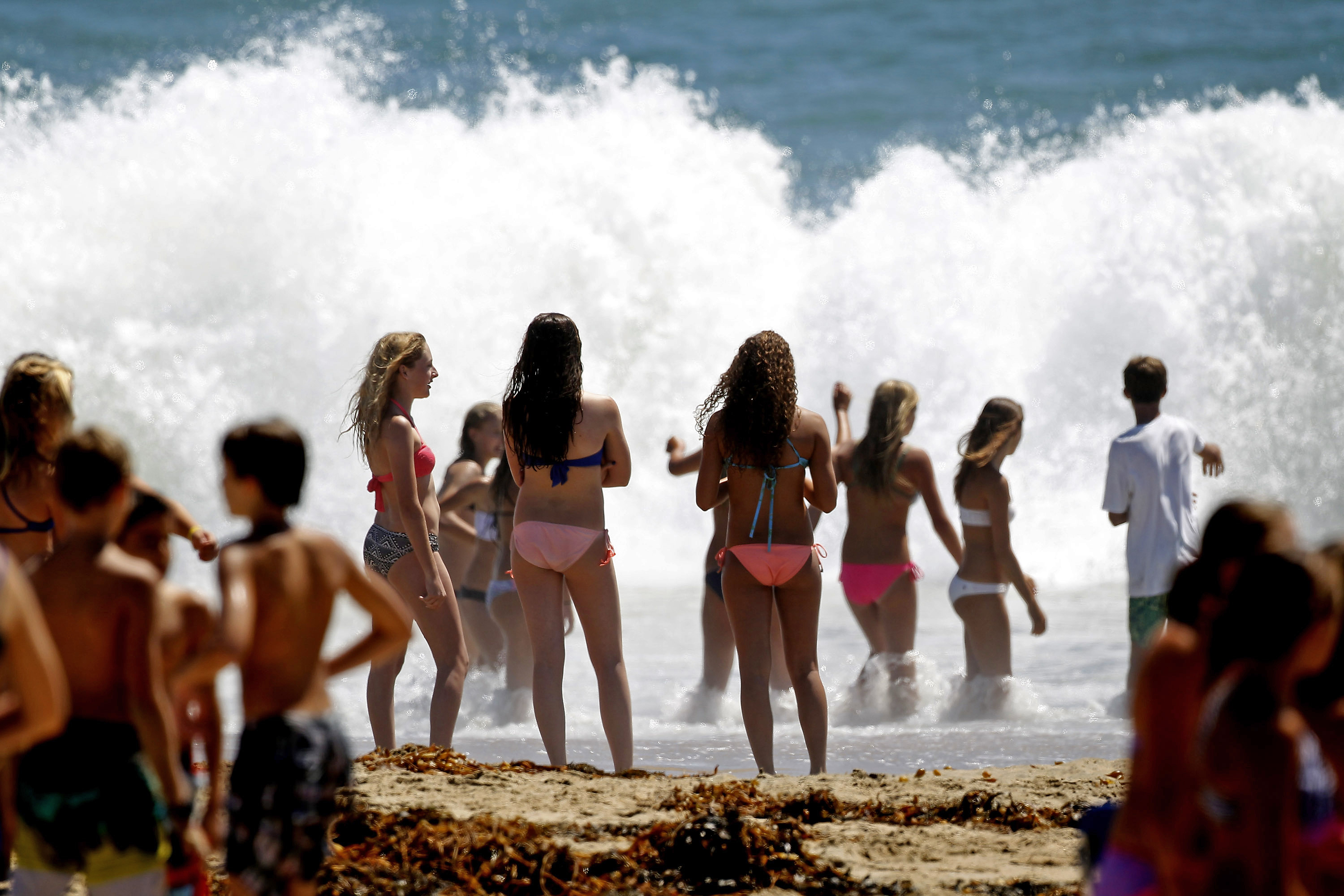
Beachgoers watch large waves crash on the shore at Seal Beach, Calif., Tuesday, Aug. 26, 2014. The Southland will bask in summer-type weather for one more day today before the start of three days of lower temperatures and the onset of heavy winds and some precipitation. (AP Photo/Nick Ut)
LOS ANGELES (CNS) – The Southland will bask in summer-type weather for one more day today before the start of three days of lower temperatures and the onset of heavy winds and some precipitation.
“A cold upper-level trough of low pressure and surface cold front will bring periods of rain, possible thunderstorms, some mountain snow and gusty winds to southwest California Friday afternoon through Saturday,” according to a National Weather Service statement.
The NWS said a fast-moving cold front would spread rain along the Central Coast by mid-day Friday, move south and reach Ventura and Los Angeles counties by evening, triggering showers that will linger into Saturday morning. The showers could extend into Saturday afternoon on north-facing mountain slopes and stretch into early Sunday morning, according to the NWS.
Most areas will experience three or four hours of rain as a result of the cold front’s initial Southern California foray before the precipitation turns to showers. There also will be a “slight” chance of thunderstorms in San Luis Obispo and Santa Barbara counties, according to the NWS, which said any thunderstorm will have the potential to pack heavy rain and small hail.
But on the whole, the rain’s impact may be negligible in the Greater L.A. area. Rainfall amounts from Friday afternoon through Saturday are expected to range between a quarter-inch and a half-inch along the Central Coast, with up to one inch in northwestern San Luis Obispo County, but otherwise, most areas can expect between a tenth and a third of an inch, according to the NWS statement.
The rains will be the first to fall over a wide area this season and will combine with months of oil buildup to make paved surfaces dangerously slick, NWS forecasters warned, urging motorists to use extra caution.
The snow level will be above 7,500 feet through Friday evening, then fall to between 6,500 and 7,000 feet by late Friday night and to near 6,000 feet by Saturday morning, the statement said. Snow accumulation above 6,500 feet is expected to be less than an inch.
Also expected as a result of this storm are strong winds. Southwest winds gusting to between 35 and 45 miles per hour are expected in the mountains of Ventura and Los Angeles counties and in the Antelope Valley Friday afternoon and evening, NWS forecasters said. By Saturday morning, the winds will turn to the northwest, gusting at more than 50 mph in the mountains and more than 40 mph in the Antelope Valley.
The NWS forecast cloudy skies today and highs of 70 in Avalon and San Clemente; 72 at LAX; 74 in Newport Beach and Laguna Beach; 75 in Long Beach; 77 in downtown L.A., on Mount Wilson and in Burbank; 79 in Yorba Linda, Fullerton and Anaheim; 80 Lancaster, Irvine and Mission Viejo; and 81 in Pasadena, Woodland Hills, Saugus, Palmdale and San Gabriel.
Friday’s forecast calls for drizzle and temperature highs generally around between four and seven degrees lower than today, although Mount Wilson is expected to be 22 degrees lower. Saturday’s temperatures will be another few degrees lower, although they will begin to rise again on Sunday and generally will be back at today’s levels on Monday. No precipitation is forecast after Saturday.
Related Posts


-
 Early-voting turnout hits 34.74 pct ahead of presidential election
More than 15 million voters have cast their ballots...
- May 30, 2025
ENTERTAINMENT
-
 (Movie Review) ‘Big Deal’: sobering take on work ethics goes beyond cutthroat M&A
On the surface, “Big Deal” appears to be a...
- May 30, 2025
-
 Ateez to drop new EP, ‘Golden Hour: Part. 3′
K-pop boy group Ateez will drop its 12th EP,...
- May 30, 2025